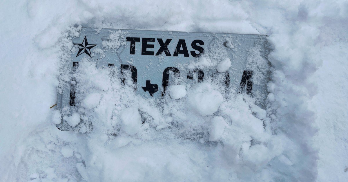
Confidence is increasing that a significant winter weather event could impact Southeast Texas, and forecasters say ice is the main concern.
Freezing rain can quietly build up on roads, trees, and power lines, adding weight that infrastructure in this part of Texas is not designed to handle. With a Winter Storm Watch and Extreme Cold Watch now issued for the Houston area, even small amounts of ice could lead to dangerous travel conditions and possible power outages.
Meteorologists measure ice accumulation in fractions of an inch, but those small numbers can cause serious problems.
A trace to 0.25 inches of ice can make travel hazardous, especially on bridges and overpasses. Power outages are usually limited at this level, but isolated issues can occur.
Between 0.25 and 0.75 inches of ice, travel may become impossible in some areas. Tree limbs can snap under the added weight, increasing the risk of power lines being damaged.
Ice amounts greater than 0.75 inches are considered catastrophic. Widespread tree damage and major power outages become likely, particularly in regions not accustomed to long periods of freezing temperatures.
Forecasters warn that even light ice can be dangerous if it lasts long enough. This system could bring more than 40 hours of freezing temperatures to parts of Southeast Texas.
Energy experts also warn that heavy ice in other parts of Texas could impact power availability in Houston, even if local ice totals remain low.
Travel Concerns Across Texas
This is expected to be a statewide weather event, with snow and ice affecting large portions of Texas.
Air travel disruptions are possible from Saturday night through Monday morning.
Saturday morning into early afternoon may offer the least disruptive travel window.
Conditions are expected to worsen quickly once colder air moves in.
Meteorologists caution residents not to focus solely on exact ice totals. Even light icing, especially if heavier ice develops north of Houston, could still result in travel problems and power disruptions.
Residents are urged to closely monitor weather updates as the Weather Impact Alert weekend approaches and prepare for rapidly changing conditions.